

Gumbat Stupa
Gumbat Stupa; Sir Aurel Stein in the Memoirs of the Archaeological Survey of India first mentioned the site of Gumbatuna in 1930. Berger and Wright who carried out small-scale excavations (Berger et al 1941). Professor G. Tucci followed it in 1955-56.
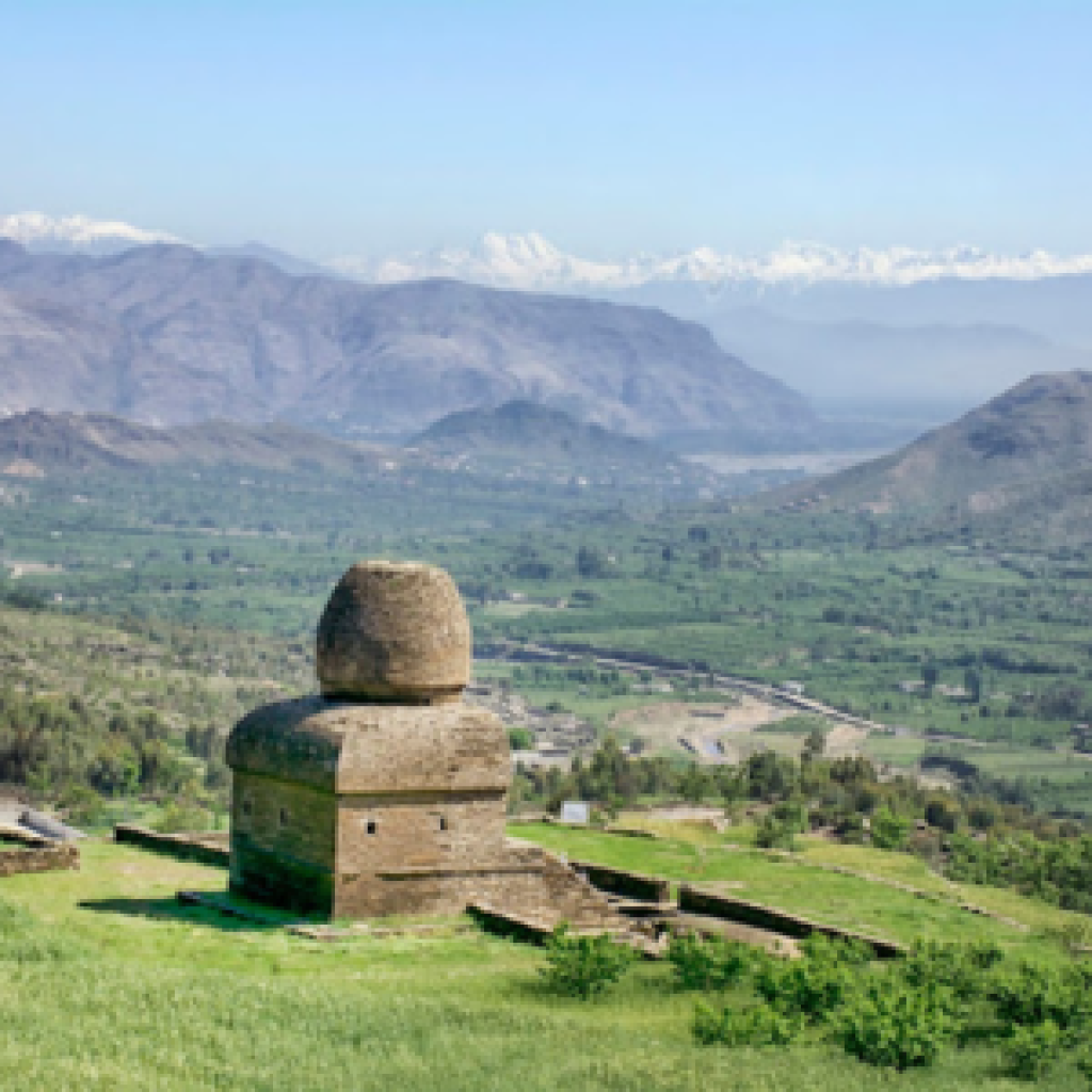
Location: The site of Gumbatuna (Gumbatuna is the plural form of “Gumbat”, the Pashto word for “dome”) is a Buddhist establishment situated on the right bank of the river Swat, 6 km west of Barikot village along the metalled road leading towards Nimogram in a wide valley.
The valley is broadly drained by the Swat river which flows in several braided channels through the area. The archaeological remains are scattered over a range of 1500 meters north to south and 1000 meters east to west in wide terraced fields sloping into the hills behind, known as Shamozai range. A spring is located in the Picturesque gully, north of the sacred area.
Main Gumbat Stupa: The lower zone comprises the main stupa encompassed by the votive stupa and columns bounded by the enclosure wall.
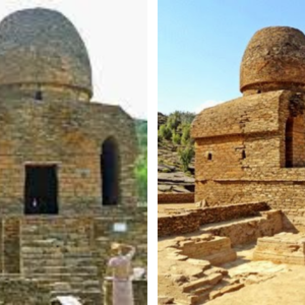
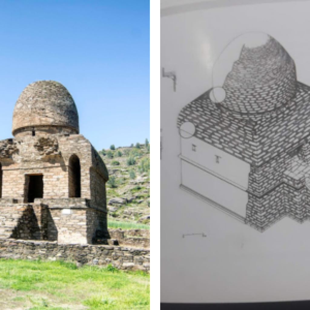
The main stupa stands on a square plinth measuring 17m each side with an offset projection 3.71m long by 3.82m wide. The huge stupa is probably the best preserved in ancient Udhyana consisting of a dome, upper and three lower drums, resting on a square podium and scale The structure above the dome comprises harmika and umbrellas, which are now missing.
0 Comment